11.11.2019 Pictures of the GIS Workshop: Using Geodata for Natural Resource Management
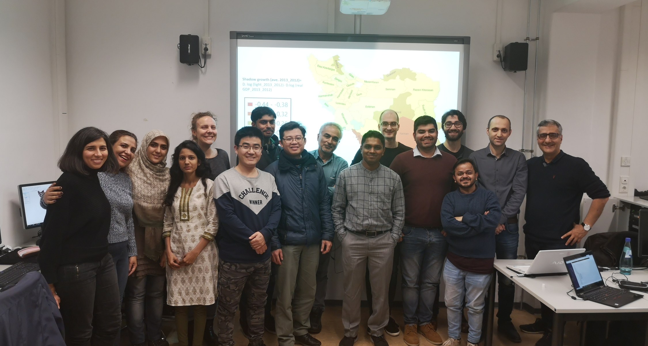
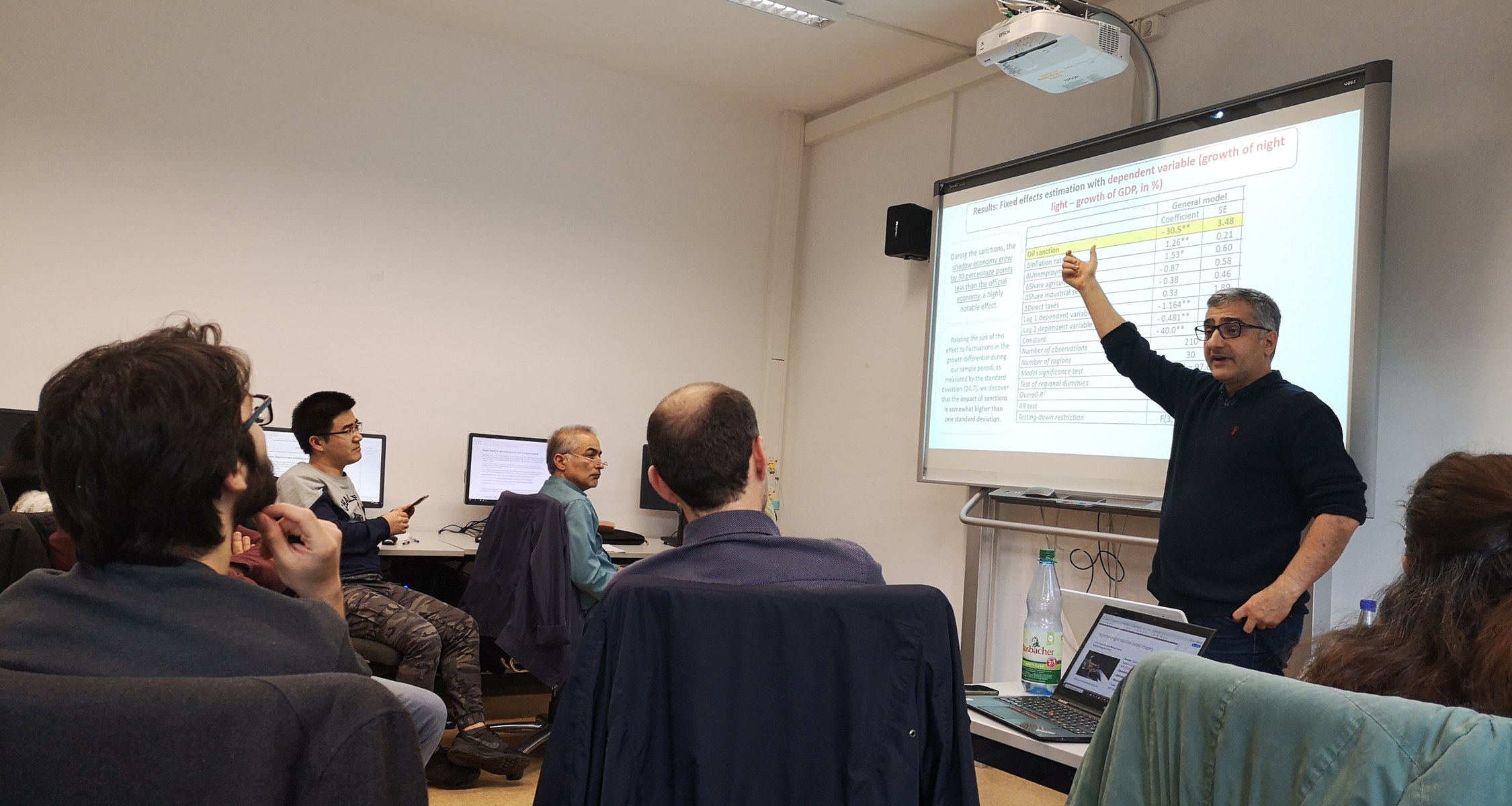
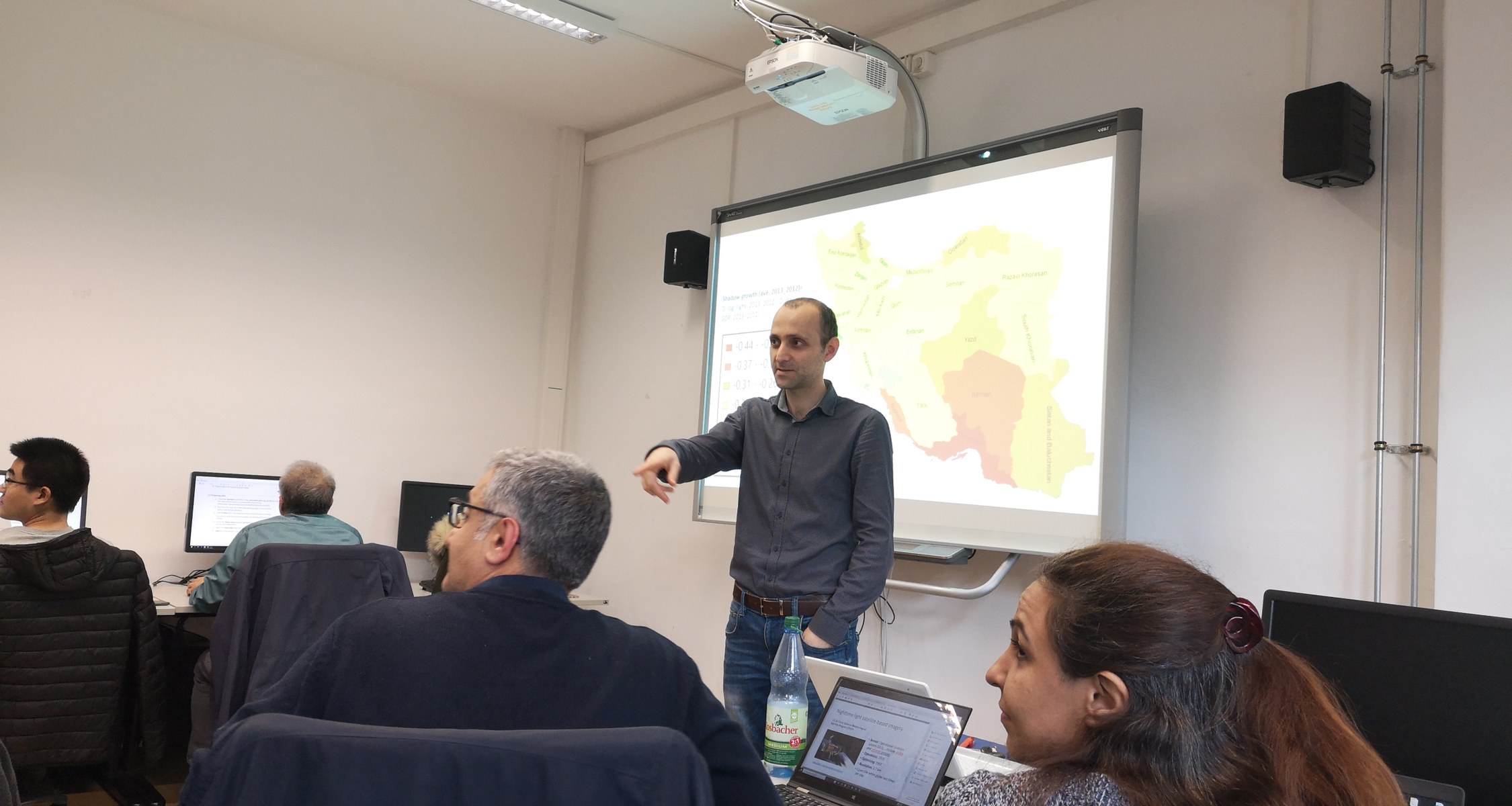
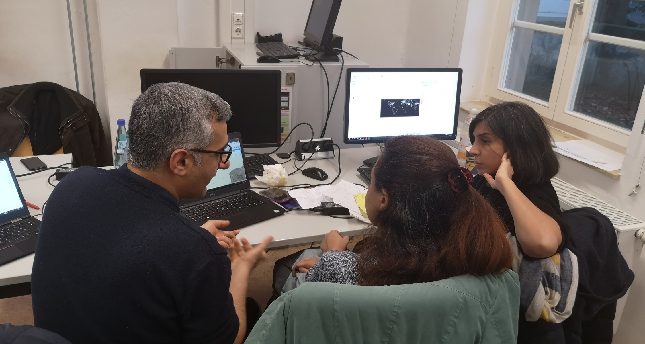
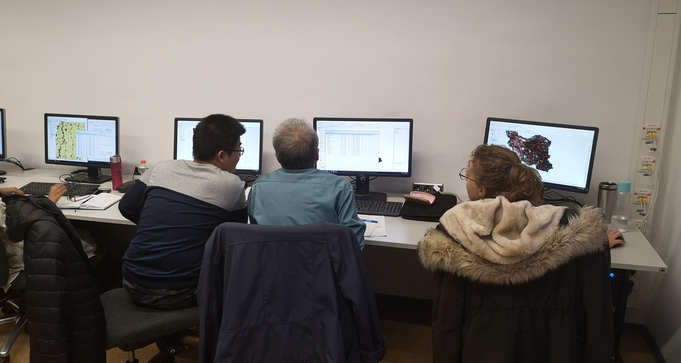
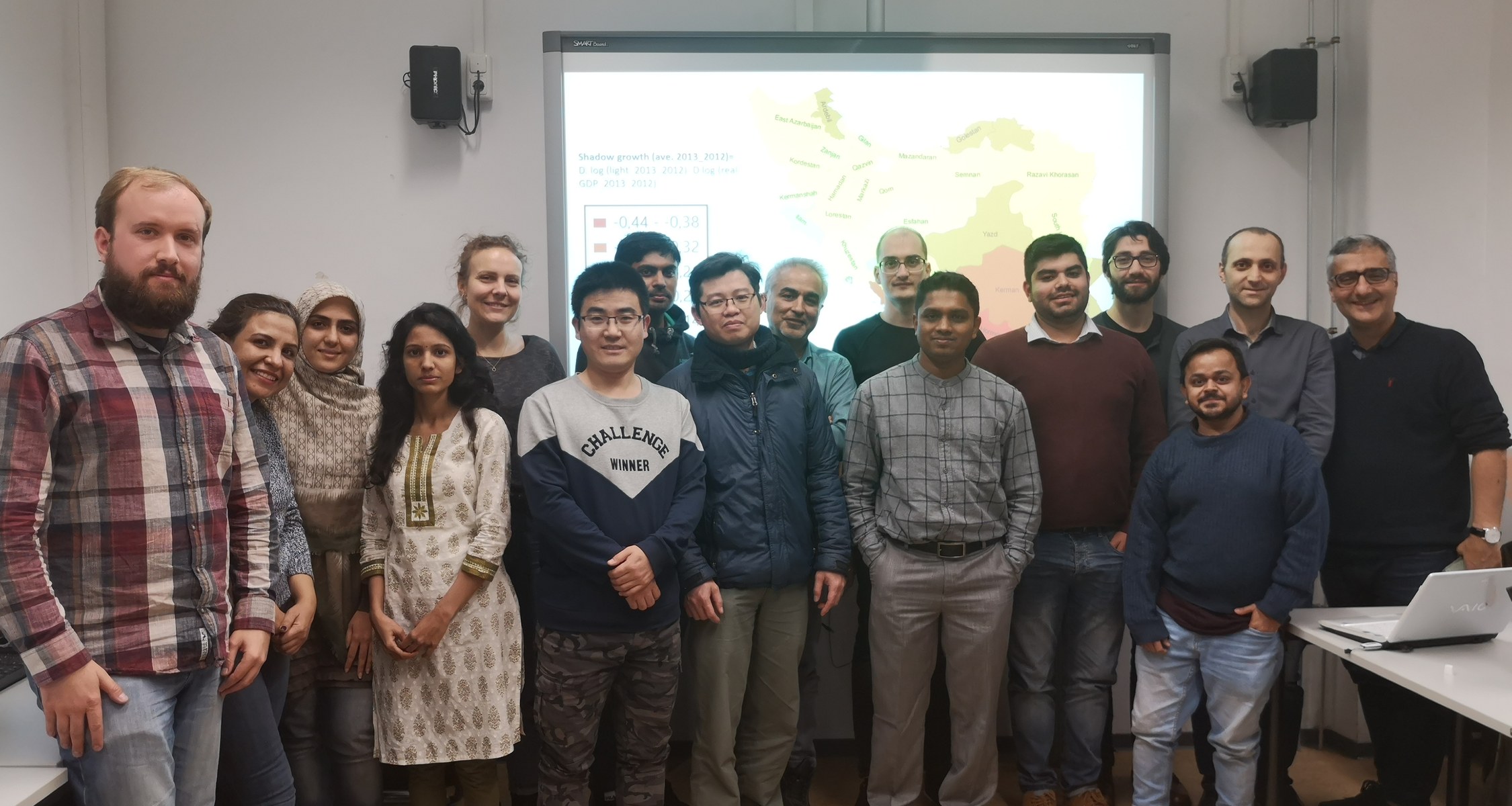
This workshop was organized in cooperation between Prof. Dr. Farzanegan (School of Business and Economics; Center for Near and Middle Eastern Studies) and Prof. Dr. Opp (Faculty of Geography) with support of UMR 2027.
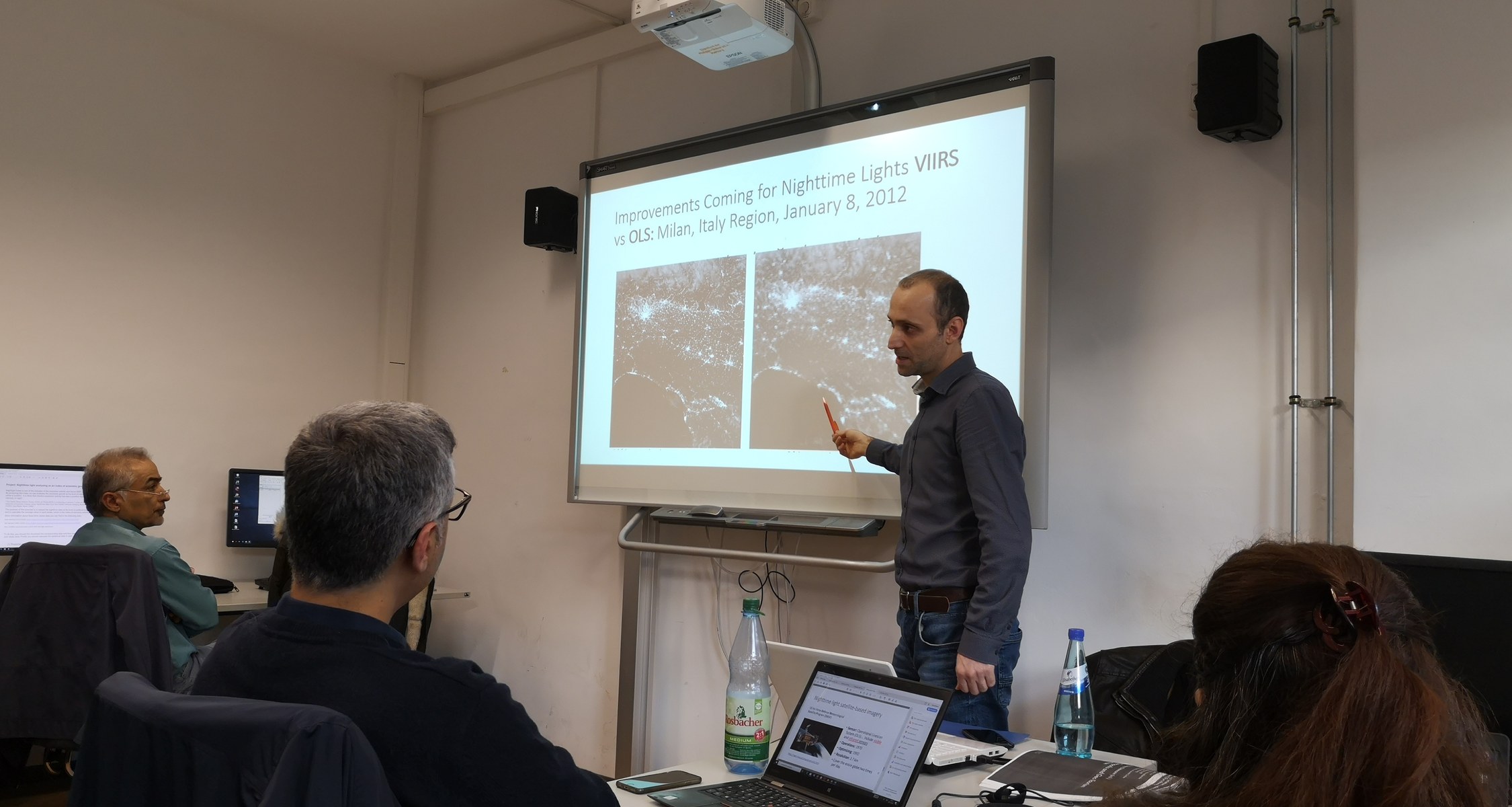
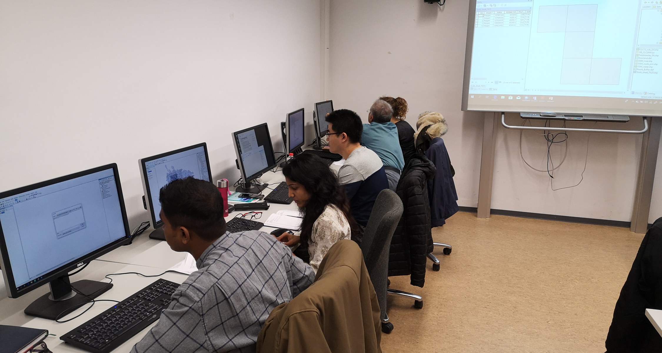
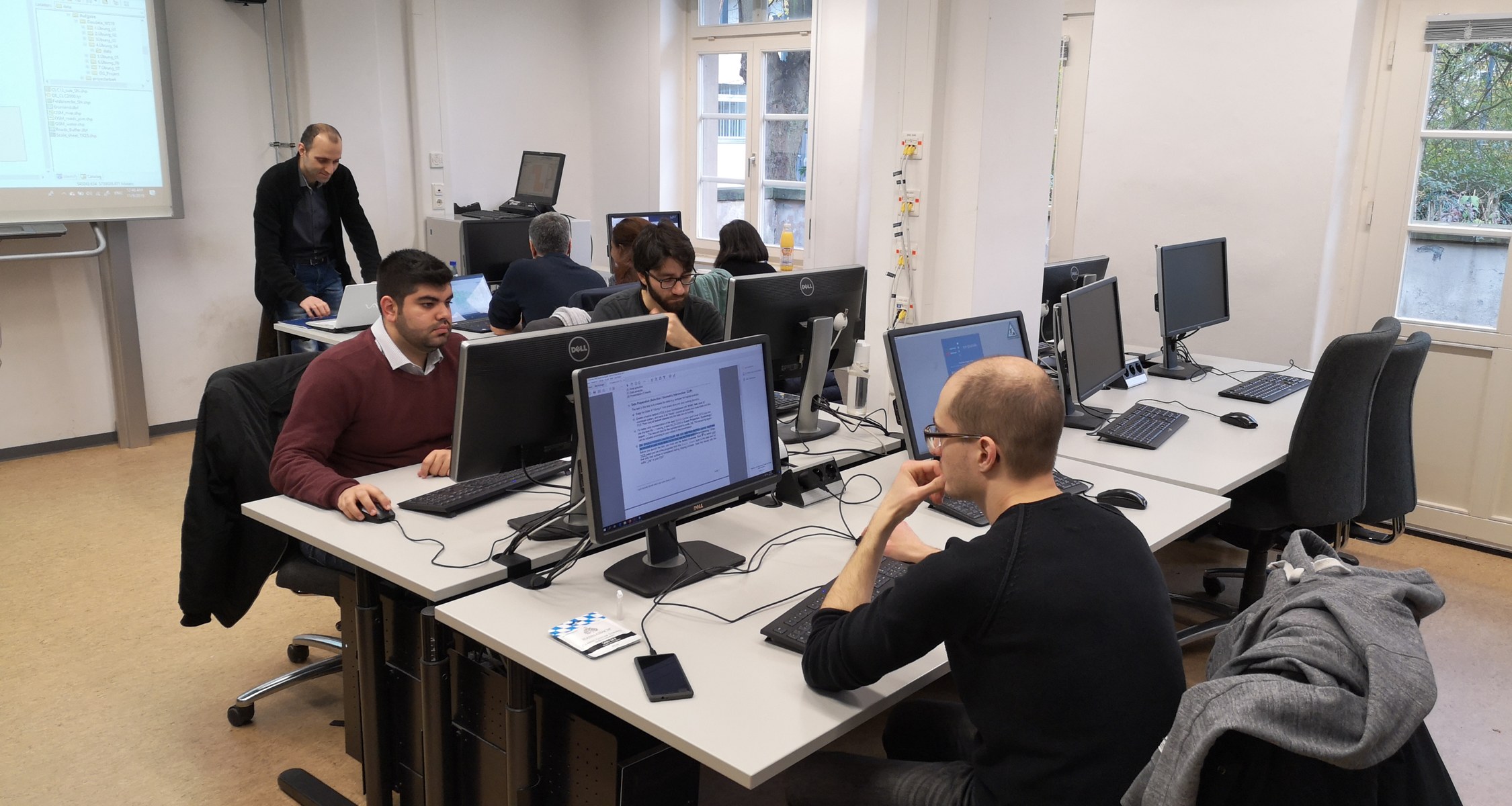
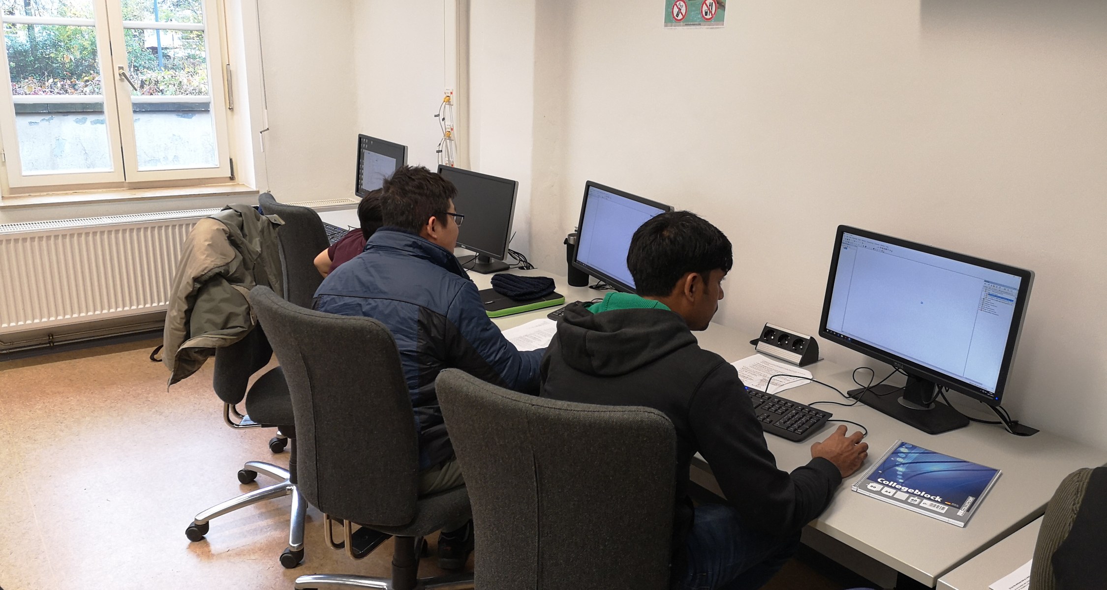
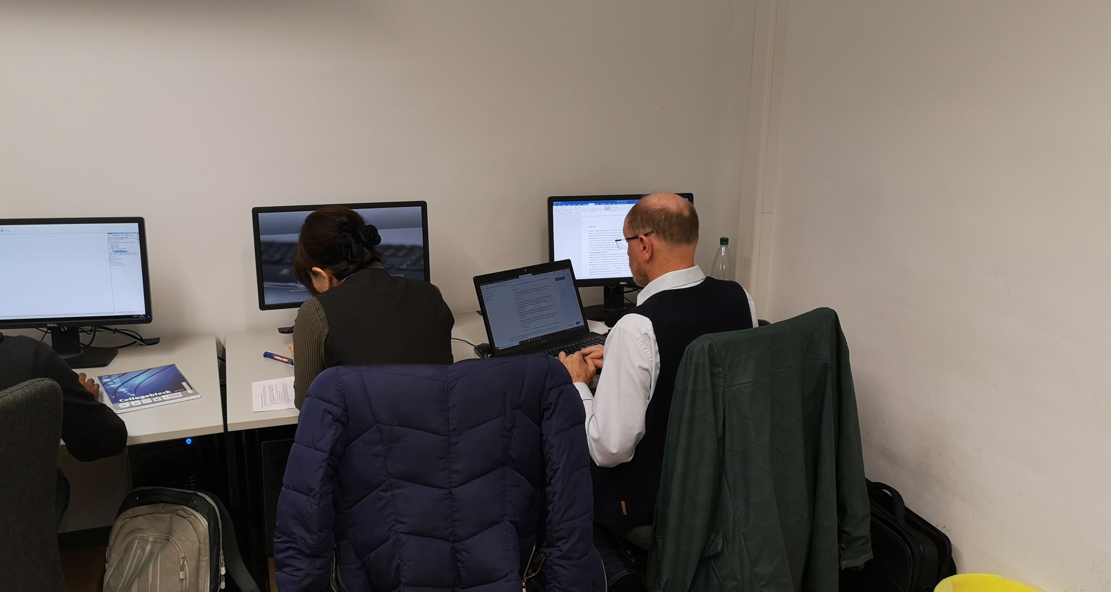
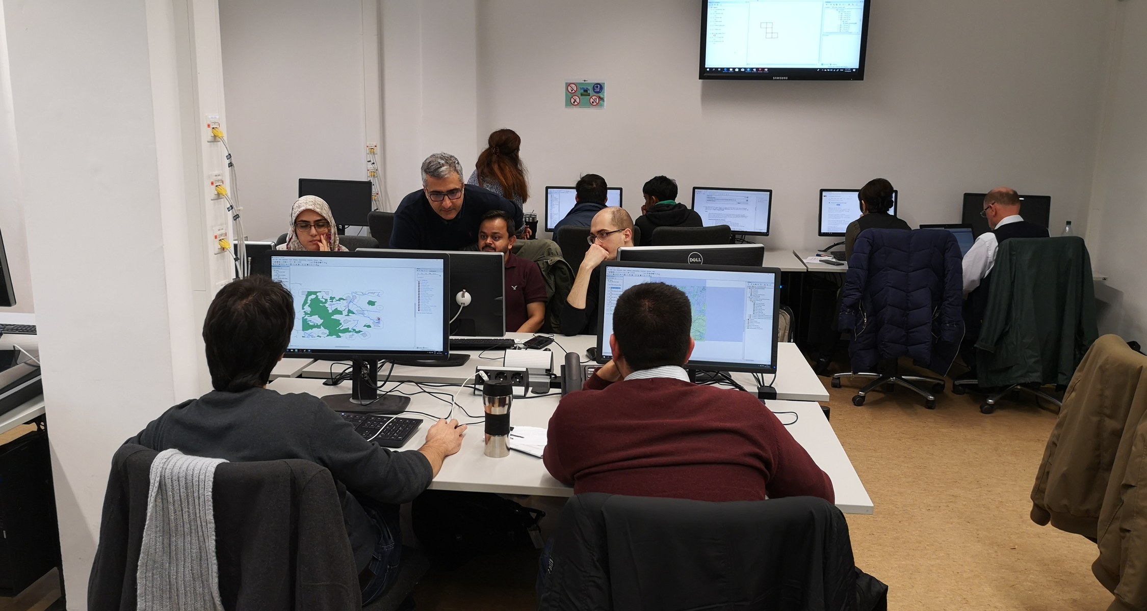
In this two-day workshop, particpants got familiar with the software ArcGIS and the application of Geo data in the context of economics. The teacher Dr. Rafiei prepared different tasks and participants learned for example how to calculate environmental damages or economic activity using Geo data.
Click on the picture above to open the gallery with pictures of the event.
If you missed our event, you can find more information here:
The workshop was supported by UMR 2027:
Kontakt
Prof. Dr. Farzanegan
Mail: narem@uni-marburg.de