Main Content
NaDiMa Dialogue #5 | Introduction to Application of GIS in Natural Disaster Risk Management | 28 November 2020
Agenda
Agenda
Session 1:
Part 1: Welcoming and Introduction to the Workshop
Part 2: Introduction to disaster risk management and the potential role of spatial technologies and its contribution from operation to decision making.
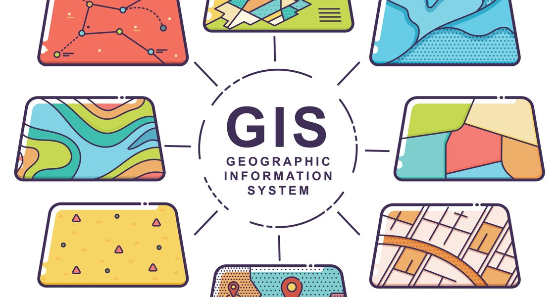
Part 3: Geographic Information Systems and Remote Sensing
Part 4: The world of Quantum GIS (Demo on GIS Software)
Part 5: Hands on Exercise (Drought hazard mapping as an example: part 1)
Session 2:
Part 6: Hands on Exercise (Drought hazard mapping as an example: part 2)
Part 7: Question, answer and evaluation
Part 8: Closing
Aims of the workshop:
1) To understand geoinformatics for Disaster Management Planning and Emergency Response
2) To develop the skills in implementing functionalities of QGIS software for disaster management through hands on training and demonstrations.
3) To generate maps or monitoring and analysis of drought hazard.
At the end of this workshop, you would be able to identify hotspots and classifications using spatial data, visualize, and export the related maps.
Prerequisites
No prior knowledge about spatial analysis is required.
The workshop is aimed at Master and PhD students who work with spatial data during their studies (e.g. geography, socio-economic, disaster management, engineering and water management). However, students from different disciplines are welcome, please contact us in case of any questions about the prerequisites.Workshop Instructors
Neda Abbassi, Georg-August-University Göttingen, Germany
Neda Abbassi is an external PhD student at Philipps-University Marburg and visiting PhD student at Georg-August-University Göttingen. She graduated from Isfahan University of Technology in the field of Natural Resources Engineering with a specialization in Desertification Control. Her research fields are Water and Land Use Management, Water Scarcity and Productivity, and Remote Sensing and GIS among others. Her main focus is on the applications of remote sensing in different disciplines like environmental and natural resources science, water resources management, and crop science. She has publications in relevant fields and has thought several workshops on the application of computer-aided data and image analysis in the field of geography and resource management in the past.
Sudeh Dehnavi, TH Köln (University of Applied Sciences), Cologne, GermanySudeh Dehnavi is a researcher and lecturer in the sustainable development of food and water systems. Her interdisciplinary research and educational work's core topic is Natural Resources and Agricultural Economics, Food and Water Security and Governance, and Sustainability Entrepreneurship. She is currently working at the Institute for Technology and Resources Management in Tropics and Sub-tropics (ITT), TH Köln, Germany. Among her responsibilities include scientific coordination of the IWRM MENA program, the “Water Security in Jordan- from Data to Decision” research project, Entrepreneurship educational module and the Workshop Series on Green Innovation.
Registration and Technical Requirements
Time and Place: 28th November 2020, 10:00 am - 4:00 pm (CET), Online
How to join: The capacities are limited. Slots are allocated on a "first come, first served" principle. Click here to register for the event.
Platform: We are using Adobe Connect for the NaDiMa Dialogue Series. It can be accessed via browser or desktop app.
Meeting Applications for Adobe Connect can be downloaded hereInstructions and Technical Requirements for Participants:
Quick Start Guide for Participants
How to be a Participant in Adobe Connect (YouTube)
Please note that if you participate, you must install the QGIS software on your computer.Poster